Show the map
Forêt de Tres Crouts - Bat de Hau - Cabane de l'Aoulhet - Pic de Miquéu
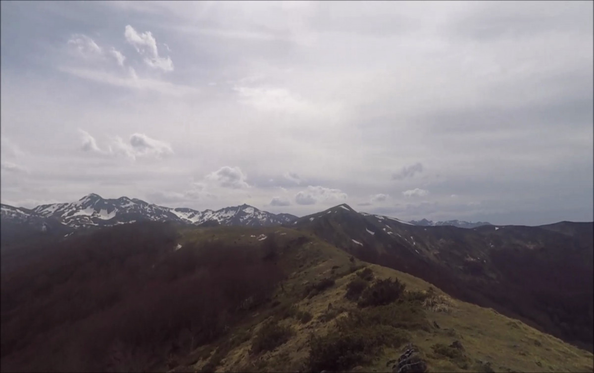


 Saint-Pé-de-Bigorre (65)
 Points of Interest table
| Accum. | Intermediary | |||||||
|---|---|---|---|---|---|---|---|---|
| POI | Description | Alt. | Dist. | D+ | D- | Dist. | D+ | D- |
Trace n°86423
Ascent threshold : 3 m Distance threshold : 30 m Smoothing : No Origin of altitudes : MNT Aster GDEM
Ascent threshold : 3 m Distance threshold : 30 m Smoothing : No Origin of altitudes : MNT Aster GDEM
Loop
Dominant terrain : Footpath
Max alti. : 1452 m
Avg alti. : 920 m
Min alti. : 398 m
Longest ascent : 1170 m
Longest descent : 1060 m
Route completed by the author : Yes
Dominant terrain : Footpath
Max alti. : 1452 m
Avg alti. : 920 m
Min alti. : 398 m
Longest ascent : 1170 m
Longest descent : 1060 m
Route completed by the author : Yes
Elevation profile
More tools
Create a new roadbook page
Map and track on your website
Warning ! When you insert a Trace de Trail map on your website, you agree not to hide any element of the module (links to Trail Trail or Trail Connect banner)
Add a realisation
Validate
Add a realisation to share your chrono and describe the conditions that you encountered during you trail running !
Add a comment
Validate
Dadounet1
02/12/20, 07:45:39
Très technique, en automne des tapis epais de feuille morte donc attention aux glissade et cheville. Jolie parcours sinon
02/12/20, 07:45:39
Très technique, en automne des tapis epais de feuille morte donc attention aux glissade et cheville. Jolie parcours sinon
Show the infos
Add a track